Tuesday Jun 30, 2026
Tuesday Jun 30, 2026
Thursday, 26 March 2026 00:08 - - {{hitsCtrl.values.hits}}
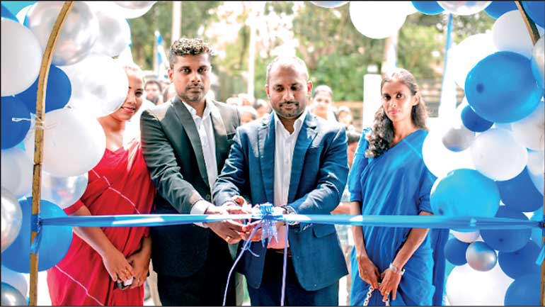
Director Jeewan Suranga (left) and and Managing Director Nishshanka De Silva at the opening of the new head office of Global GIS Ltd
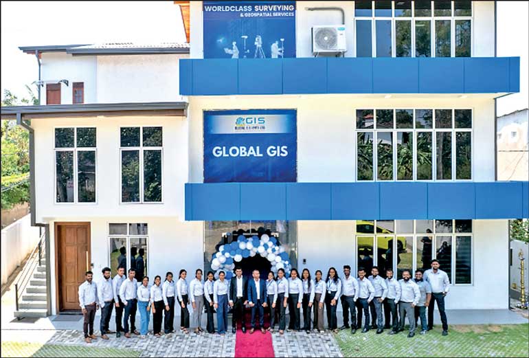
Global GIS Ltd, the pioneer of geospatial positioning solutions in Sri Lanka, celebrated its 12th year of successful operations with the grand opening of its new spacious 3-story head office building at 6th Lane, Pagoda Road, Nugegoda. The grand opening was followed by a series of religious events held at the new premises.
Managing Director and Registered Licenced Surveyor Nishshanka De Silva said: “As the pioneer in geospatial solutions in Sri Lanka, we are delighted to be celebrating this significant milestone in our journey by relocating to a more spacious premises warranted by the growth that we have been experiencing over the years. Furthermore, we have designed the new head office premises to add more value to our customers in terms of training, capacity building, and product demonstrations with a state-of-the-art auditorium.”
“This milestone serves as a testament to our dedication to innovation, leadership, and excellence. With our experience, our team of dedicated staff, and with the support of our long-standing partners, we are committed to providing our expertise in line with international best practices in the geospatial services industry,” he added.
Director and Registered Licenced surveyor Jeewan Suranga said: “Global GIS operates a high-precision CORS (Continuously Operating Reference Stations) network that covers Sri Lanka, with strategically positioned GPS/GNSS receivers providing users with high-accuracy positioning data in real time. They are also the first and only corporate member of the prestigious International Federation of Surveyors (FIG) based in Copenhagen, Denmark.”
In addition, Global GIS supports its clients by renting precision surveying equipment, including brands such as Faro, Pentax, E-survey, Toknav, Guideline Geo, Geomax, Kolida, Norbit, and Plannet. Their value-added services include archaeology and heritage site analysis and reconstruction, drone surveys for disaster management and environmental modelling, forensic crimescene reconstruction using Faro 3D scanning technology, and accident-scene reconstruction.


