Saturday Jul 25, 2026
Saturday Jul 25, 2026
Friday, 15 November 2019 00:00 - - {{hitsCtrl.values.hits}}
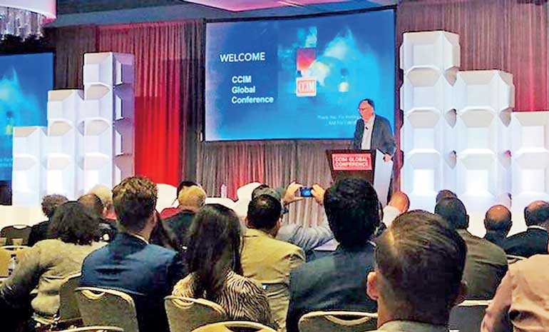
Mapping and location intelligence has never been so important. So, said Esri’s Jack Dangermond during the keynote address at CCIM’s Global Meeting and Conference in San Diego on 4 November.
“We want to work with our customers to do their work better,” he said, noting that GIS, mapping and location intelligence is key to be able to quantitatively understanding and is essential to make the right decisions.
“Geographic science helps you see what others cannot,” said Dangermond. “There isn’t a better audience than you because, in your mind, you help your customers see what others cannot.”
He explained that when looking at the world, when using GIS intelligence, you are able to see behind what others see as chaos. “We see patterns, connections and relationships. When you use location technology, you can see where things happen before they happen.”
Spatial business assessment
Dangermond noted that the world is changing and will be driven by spatial business assessment. “Mapping provides a framework for telling stories. This is taking off and creates a new language… A spatial language.”
The big challenge today, he said, is that the current human footprint is not sustainable. “We are being challenged with development congestion, climate change and more and one of the questions I keep asking myself is what is next? We need to incrementally and systematically work on these problems. How do we get a handle on these issues?”
He says what is most important is to stand up and work on doing this with creative thinking, collaboration and data. “One way to think about this is the notion that we need a nervous system that facilitates collaboration and working together on some of these big problems. Geography is the science of our world. It brings it all together. It provides content and context and it is a common reference system.”
Holistic integration
He explains that what is important in looking forward is to holistically integrate all of the available real estate information into a process. “It is about analysing, visualising, laying out a strategy and then take it into action. This process and framework resemble a nervous system. You are part of that nervous system of geographic change.”
He talked about the new kind of language out there now where maps are shared much like email or spreadsheets that interconnect everyone. “On top of this infrastructure are specialised applications. For example, indoor applications, urban planning applications, zoning envelops, business analyst, which allows us to do assessments and forecasts, and insights, which allows you to drag and drop spreadsheets on the maps. “A geo-spatial revolution is occurring and it will impact real estate. It is just beginning,” he said. “This is not just a technology thing. You can be strategic in planning your own businesses and you can create a better and more sustainable world.”
GIS Solutions Ltd. was appointed by Environmental Systems Research Institute Inc. (ESRI) as its sole Distributor for Sri Lanka. GIS Solutions is a group company of the Just In Time Group, a foremost systems integrator in Sri Lanka with a 23+ year history, providing ICT solutions and service support to a niche market in Sri Lanka. GIS Solutions provides end-to-end Geo Information Systems software solutions based on the ArcGIS platform in Sri Lanka and the only GIS Software provider in Sri Lanka that fully supports its customers through a dedicated support team of technical experts who are contactable around the clock.
Reference: https://www.globest.com/2019/10/16/ccim-keynote-says-a-geo-spatial-revolution-is-occurring/

