Wednesday Feb 25, 2026
Wednesday Feb 25, 2026
Thursday, 16 March 2017 00:00 - - {{hitsCtrl.values.hits}}
Geographical Information Systems (GIS) is considered one of the key growth areas in ICT. In Sri Lanka over 150 organisations trust the ArcGIS Platform to deliver their critical GIS related organisational needs, most of it concentrated in the public sector. In fact, all of Sri Lanka’s authoritative maps are created on the ArcGIS Platform. Key public sector organisations in Sri Lanka such as the Survey Department of Sri Lanka, Road Development Authority, National Water Supply and Drainage Board and all national universities have been using ArcGIS for years.
ArcGIS Platform has been in Sri Lanka since the late 1980s and continued to be the most used, preferred, user-friendly and rich in functionality platform for GIS. National universities conduct varied GIS courses including Masters programs which means there is a readymade workforce. GIS has been introduced to the Advance Level Geography curriculum in Sri Lanka, which goes to show the importance of this area as a science to a country.
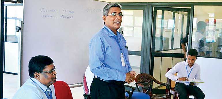
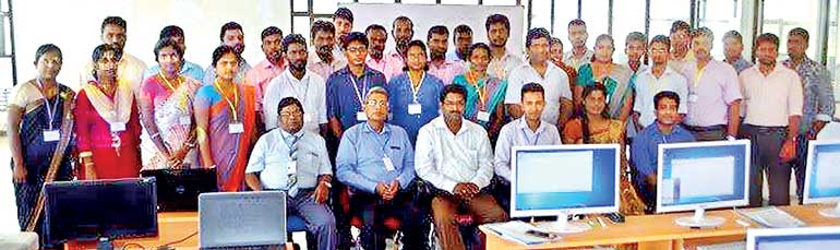
Introduction to GIS using ArcGIS – University of Jaffna, Killnochchi Engineering Faculty
The University of Jaffna’s Engineering Faculty at Killinochchi recently selected and implemented the ArcGIS Software Platform for teaching GIS in the Civil Engineering Department and selected 31 ArcGIS Desktop Licenses LAB Pak for this purpose. In conjunction to this, the faculty also organised a two-day workshop on ‘Introduction to GIS using ArcGIS’ to enhance the knowledge of GIS among key stakeholder organisations of which 30 attendees participated from the Jaffna District.
GIS Solutions collaborated with the University of Jaffna in conducting the workshop by providing a key GIS resource person – Thillai Nadarajan who has over with 25+ years’ experience in teaching on the ArcGIS Platform. This insightful knowledge sharing program was focused on introducing GIS into the government institutions of the Jaffna District. Similar programs are in the pipe line to be conducted in the month of March of 2017 as well. This project was totally funded by WaSo – The Water and Society Project of the university.
“We would like to extend our thanks to the Head of the Civil Engineering Department, Dr. S. Sivakumar and Saliya Sampath for the opportunity given to the GIS Solutions Team, to conduct this knowledge sharing program,” was shared by GIS Solutions CEO Ashani Jayasinghe-Dabare.
GIS Solutions Ltd. was appointed by Environmental Systems Research Institute Inc. (ESRI) as its sole Distributor for Sri Lanka. GIS Solutions is a subsidiary of the Just In Time Group, a foremost systems integrator in Sri Lanka with a 20 year history, providing ICT solutions and service support to a niche market in Sri Lanka. GIS Solutions provides end to end Geo Information Systems software solutions based on the ArcGIS platform in Sri Lanka and the only GIS Software provider in Sri Lanka that fully supports its customers through a dedicated support team of technical experts who are contactable around the clock.
With a large user base to its credit, GIS Solutions is equipped to provide support services like technical training, software customisation servicing, and specialised GIS Consulting expertise for GIS both local and foreign. No other GIS Software provider in Sri Lanka is better equipped to conceptualise, design and implement and deliver large scale GIS projects locally.

